Path between Fall and Spring

Written by Will O’Connell
Photographs by Will and Maia
Fall started with smashing the last old staircase to the upper falls. The thing had a haphazard charm to it, so we’d spared it until one wrong step could flip a nail filled plank your way. The replacement stairs were put in slowly taking care not to trample the surrounding moss and ferns.
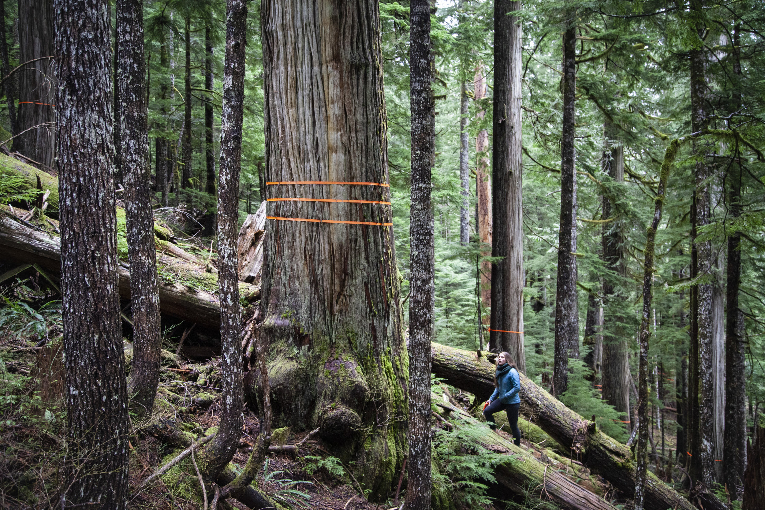
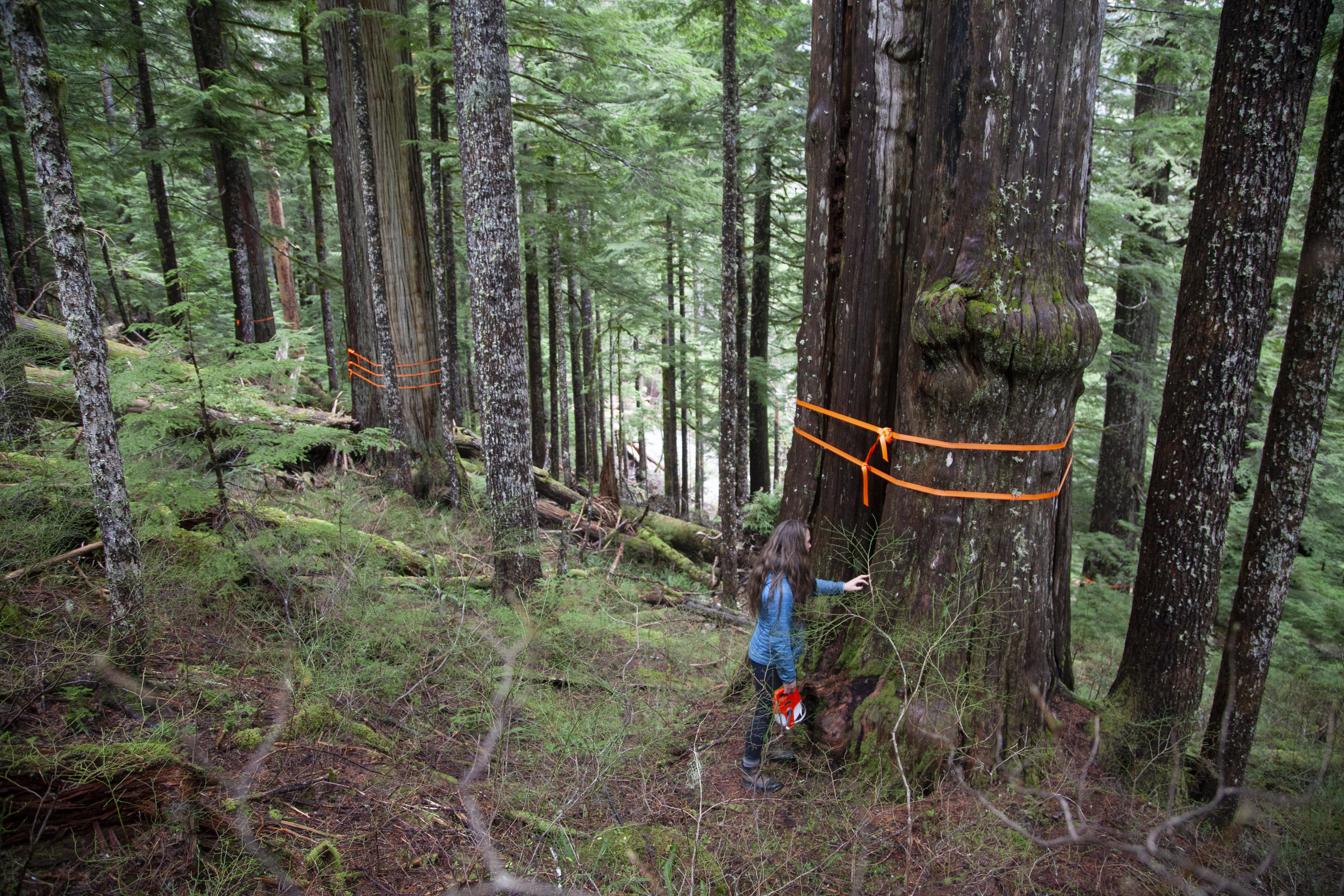
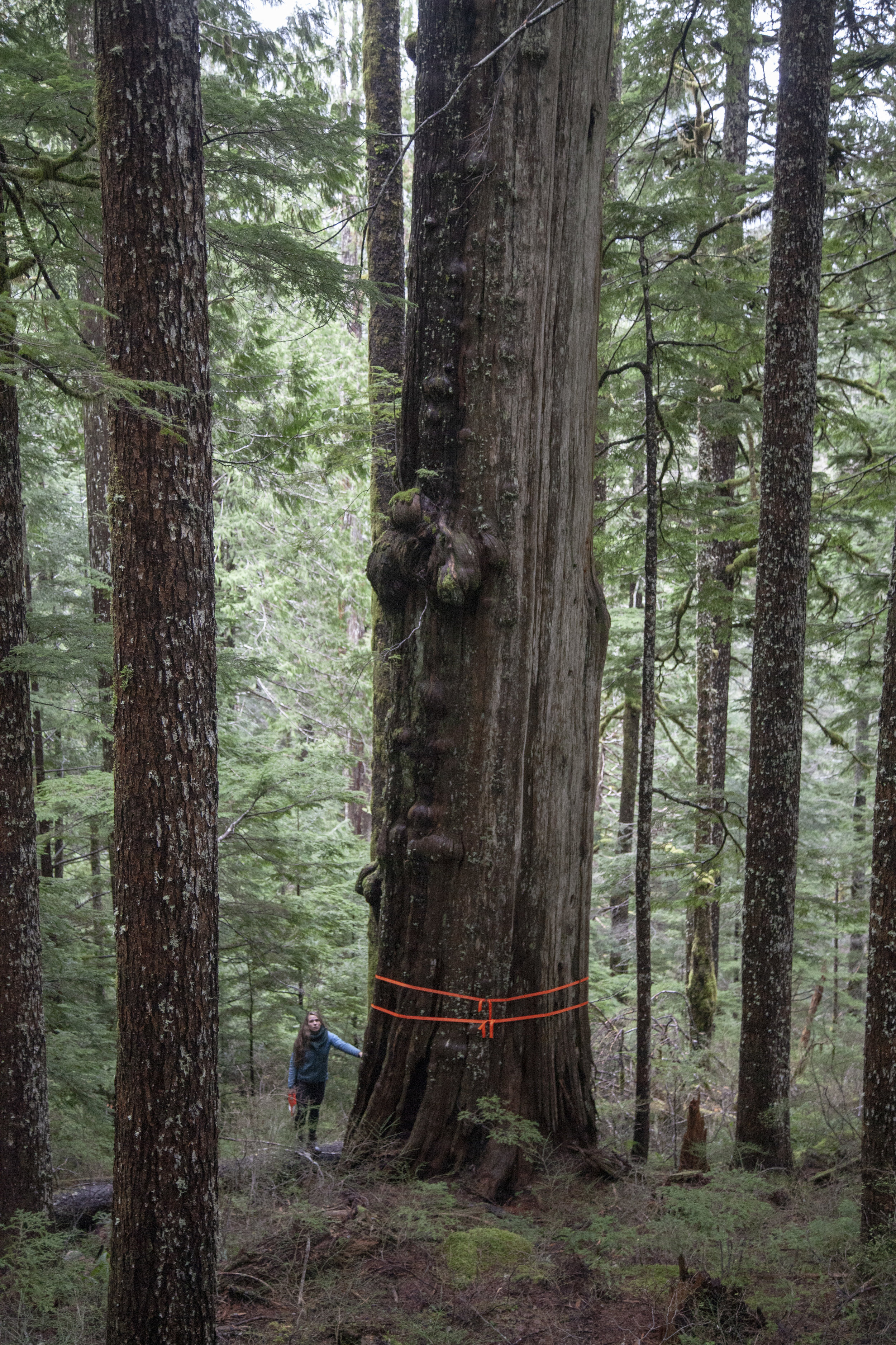
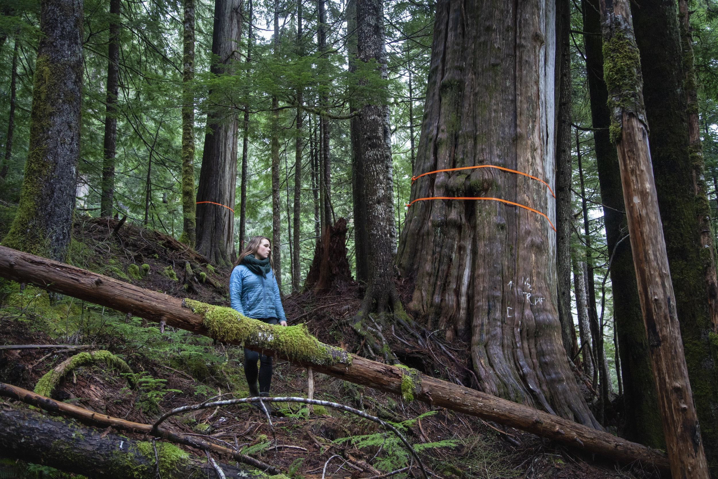
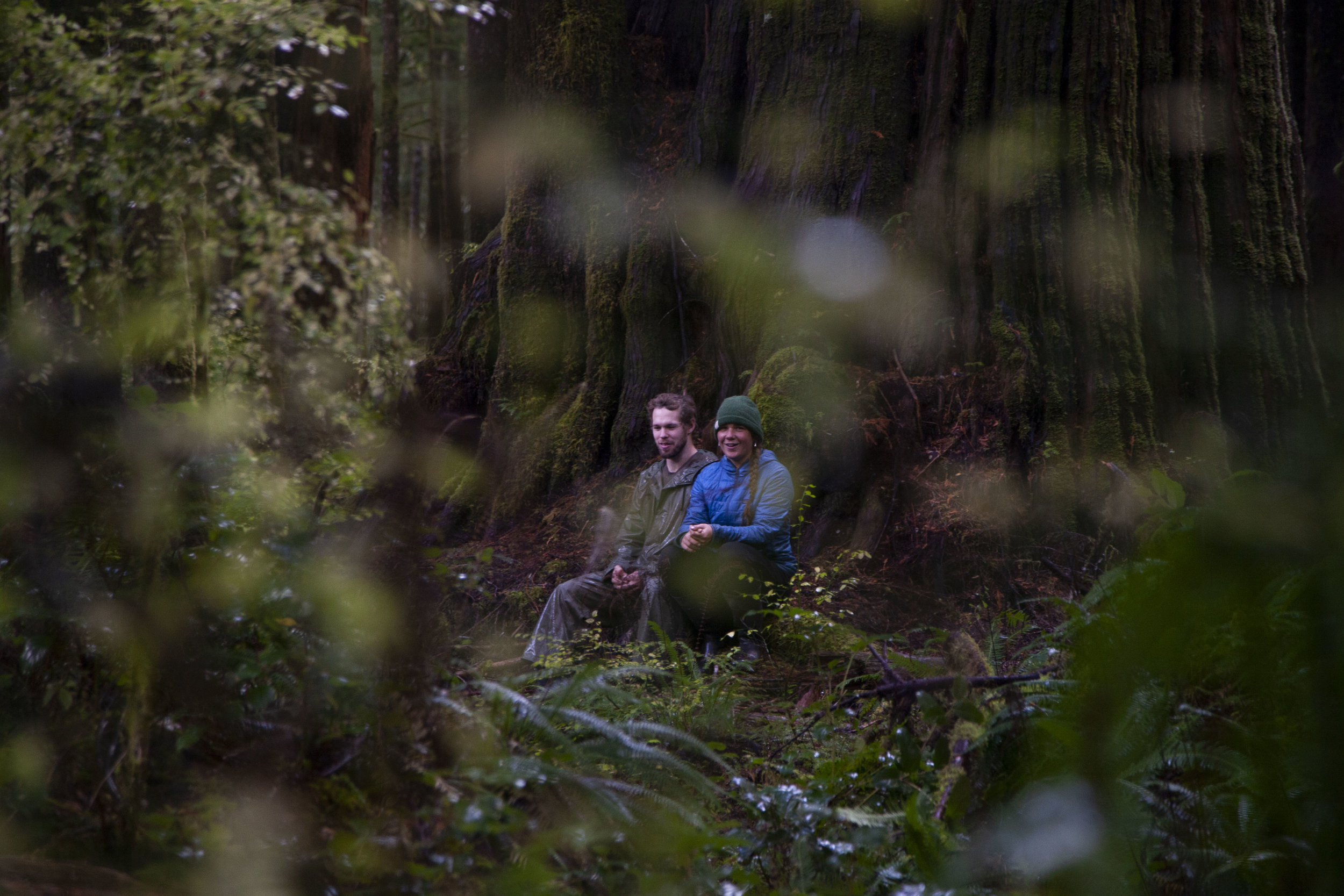
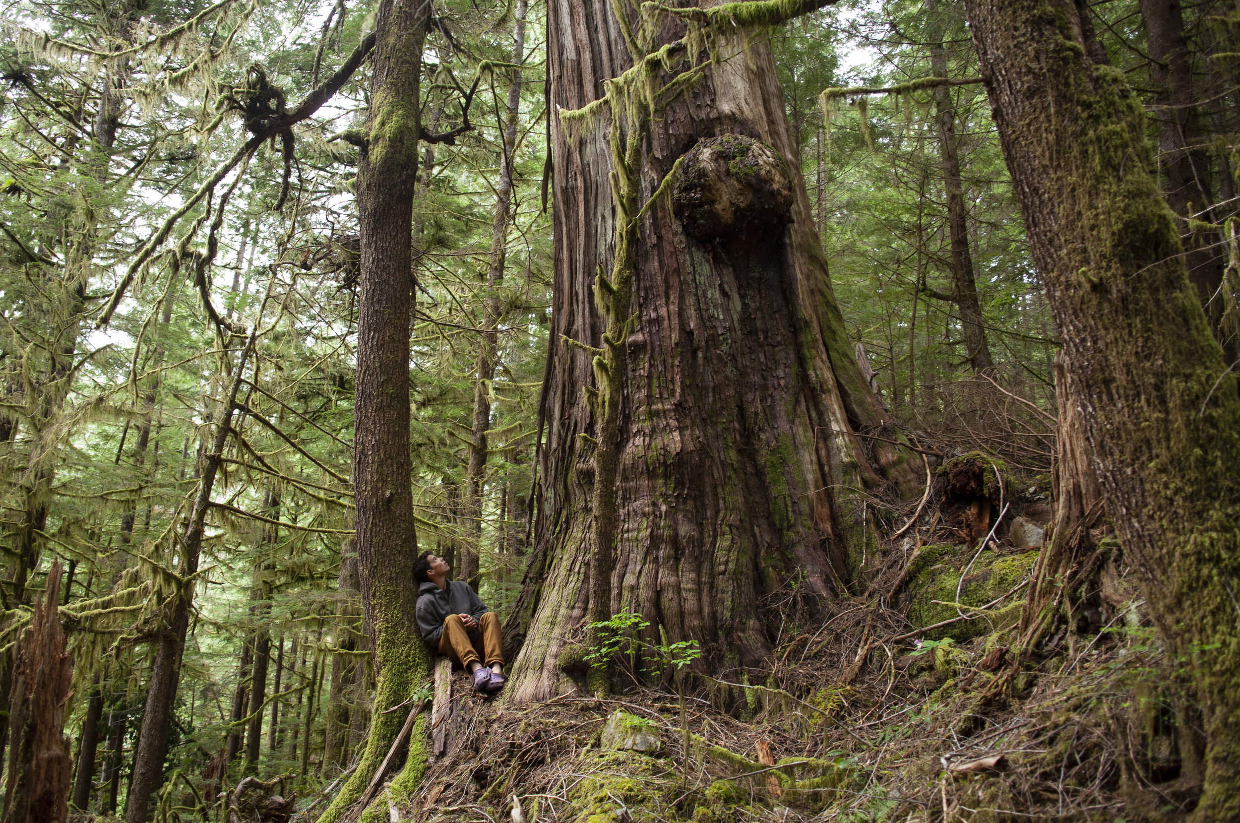
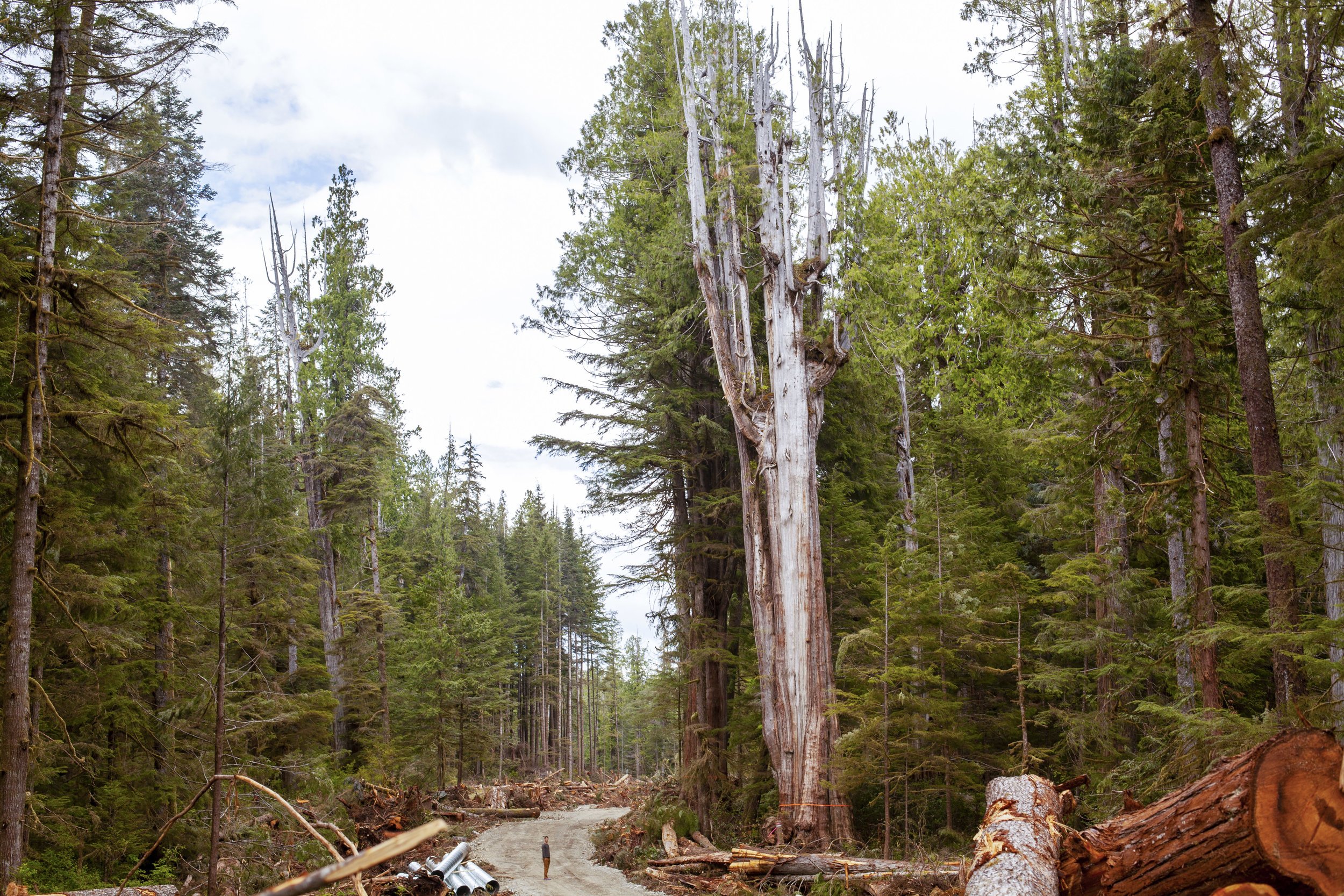
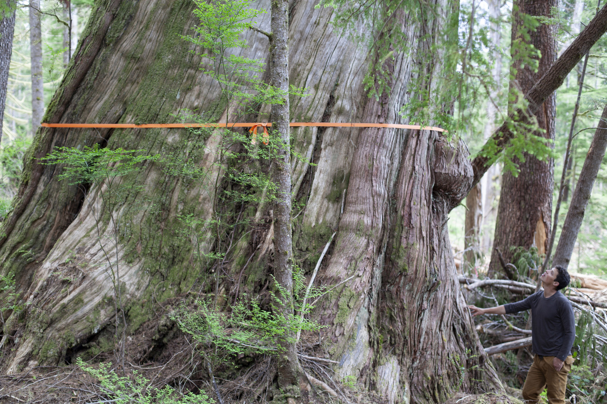
On a break from building, Alex showed us the grove of cedars he and Torrance had stumbled onto that summer. It was one of the most spectacular and ancient groves left on the island. If this could exist on the brink of a cut block minutes from the popular castle giant trail, what else could be out there? We decided it was time to get all kinds of intimate with the forests of southern Vancouver Island to find out.
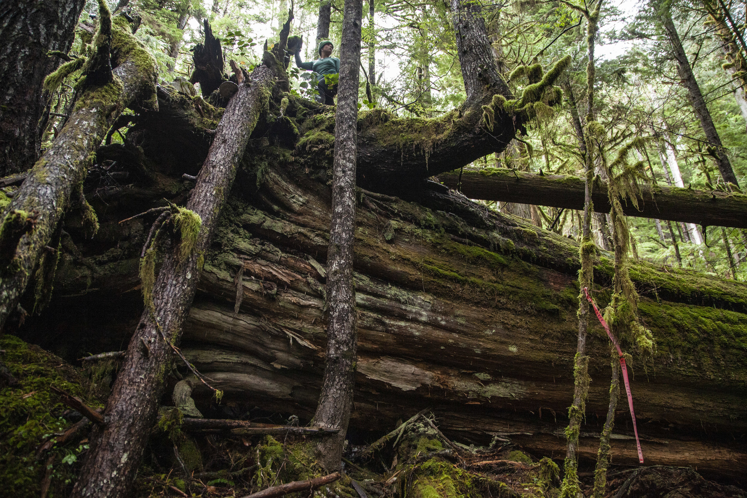
Measuring the largest tree from the upper grove at 17.13 feet diameter breast height. Flagger for cut block 4411 is within arms reach of the tree.
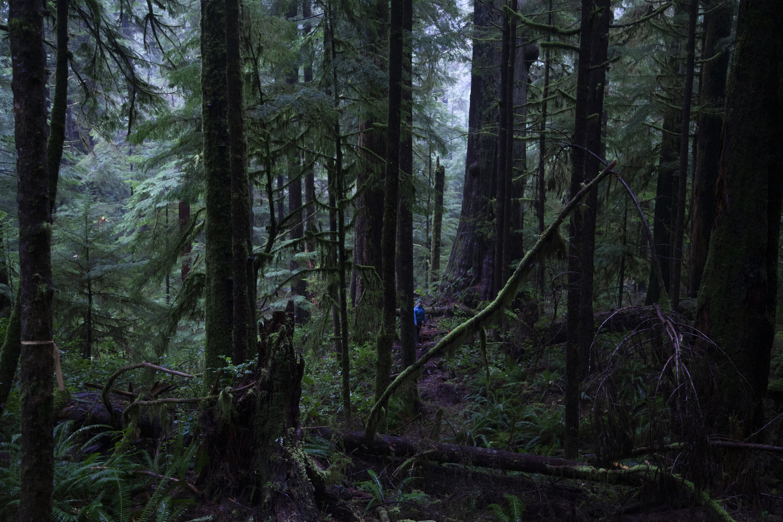
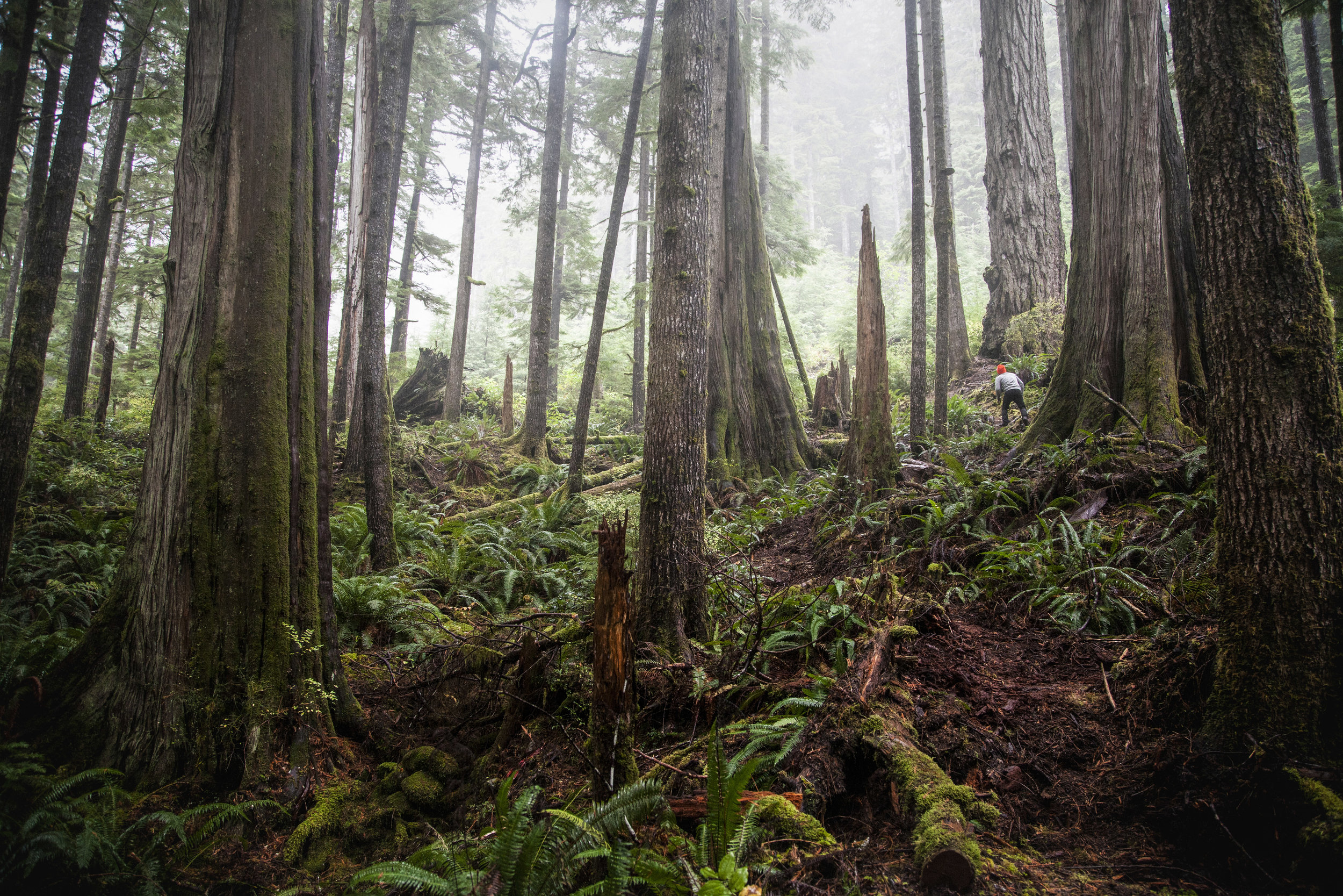
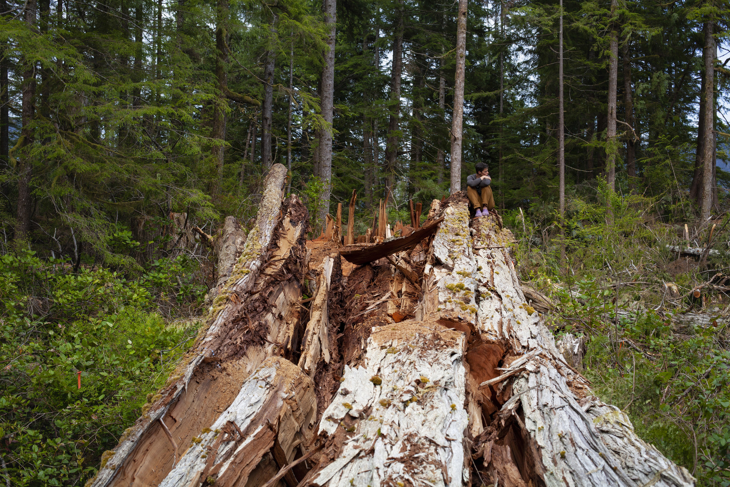
Starting this exploration project with a small section of the Walbran valley, we set out to walk all the proposed cut blocks thoroughly and all the important groves of the unprotected central Walbran. The process took weeks and most of what we found was wet, head high salal, but also caves, cliff tops, bear dens and beautiful ancient trees slated to be logged. Of note was not just the beauty and lushness of the cut blocks, but also the sheerness of their slope right down to the Walbran river. To help others see this magnificent forest, we decided to cut a witness trail through the beautiful upper blocks to the grove discovered earlier that summer, and then beyond to a clifftop lookout with an incredible view of the pacific.

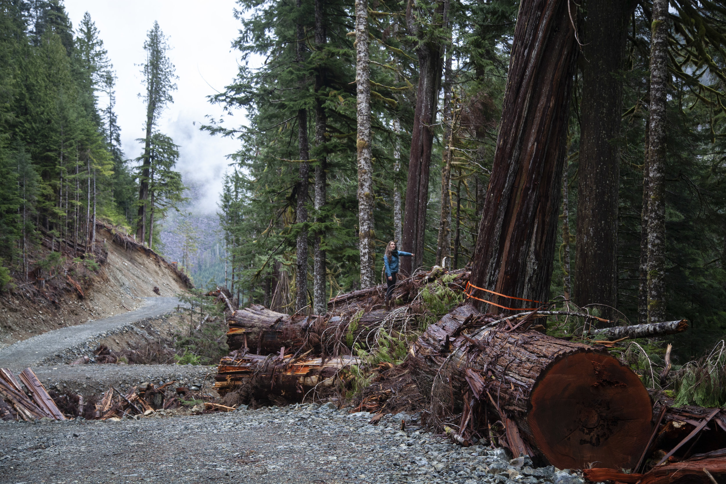
Maia in in the block adjacent to the approved but not logged teal Jones cut block 4424.
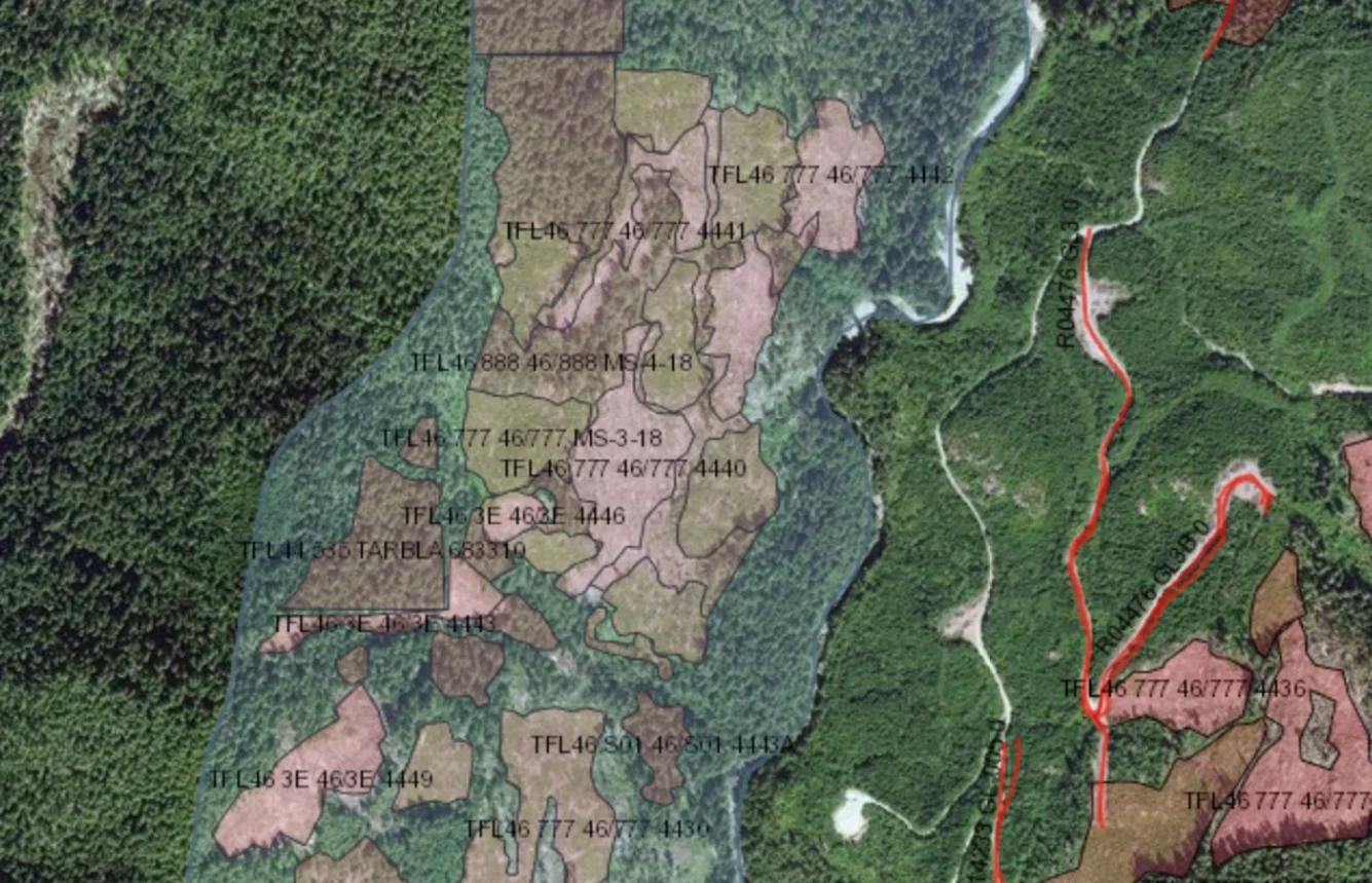
SMZ shown in teal with stitched together blocks outlined.
The Walbran “bite” (an approximately 400 hectare gap in the provincial park boundary) where the eight proposed cut blocks are contained is part of the Walbran Special Management Zone (SMZ). These SMZs were identified in the Vancouver Island Land Use Plan as areas of significant ecological value and are to be harvested so as to “maintain ecosystem structure and function”. This entails stricter regulations on cut block size and limits how much of the intact old growth can be removed. Thirty years after the creation of the Walbran SMZ, we wanted to explore what this looked like in the forest.
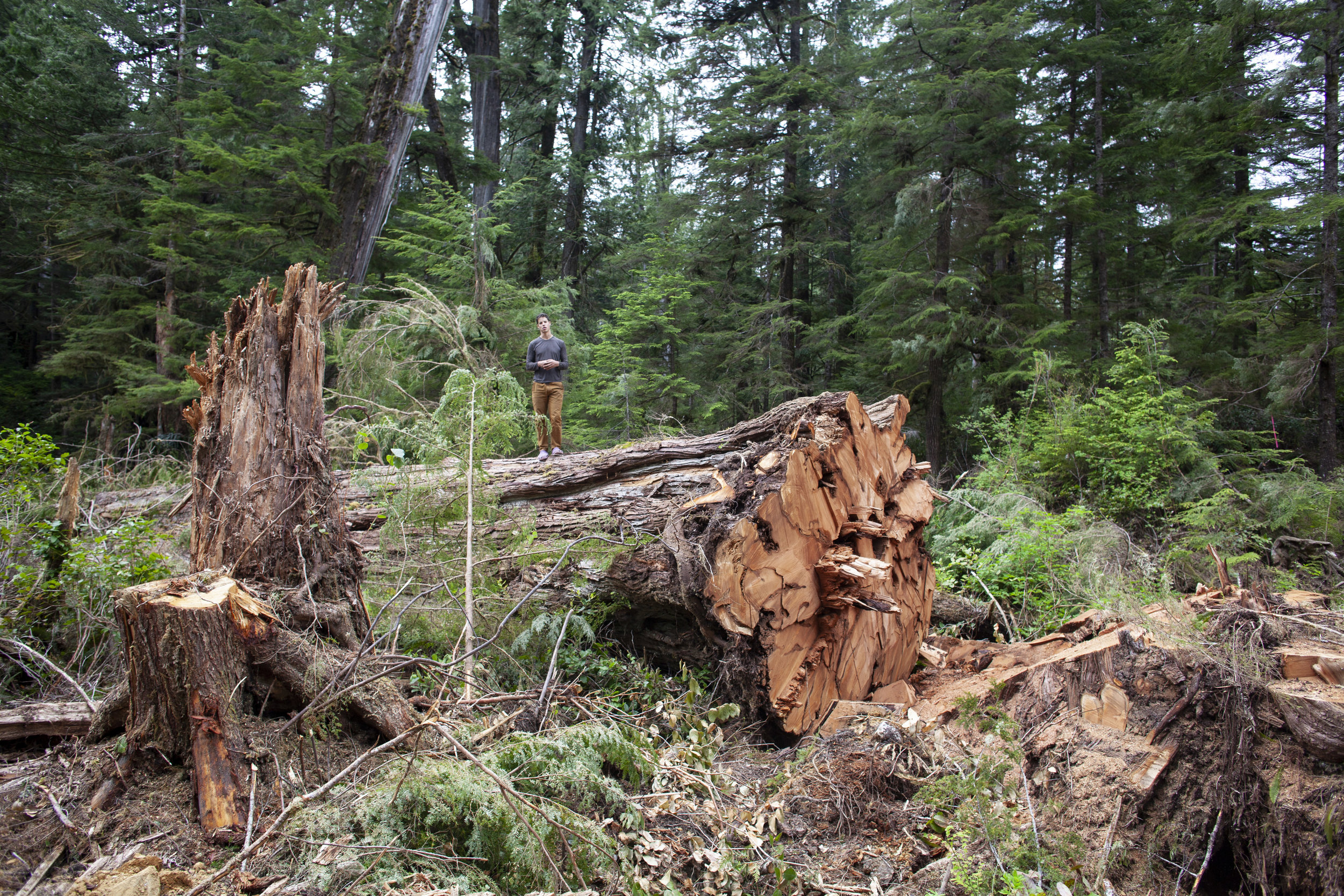
Some heli-logging seemed impressively low impact, leaving only the occasional pile of branches and a stump in an otherwise intact forest. That was in the minority though, most of our expeditions lead through massive open cut blocks created by stitching together many smaller blocks.

The top half of a relatively small cut block due to SMZ restrictions, placed as a vertical strip running down a draw which feeds the Walbran.
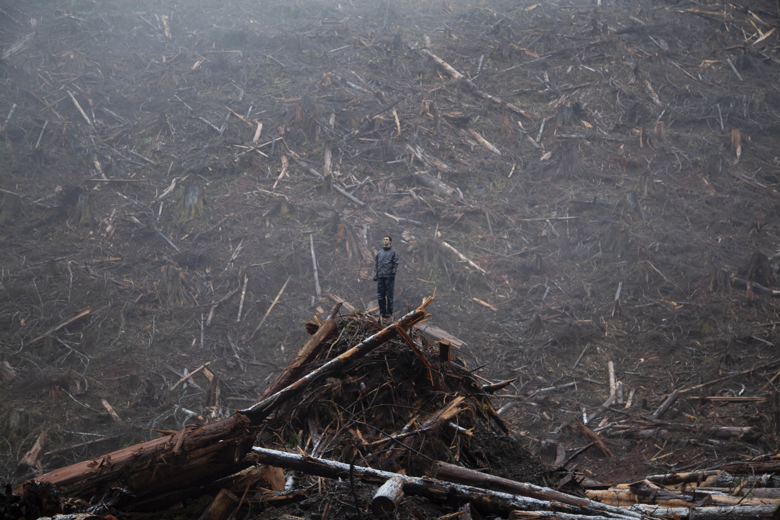
During one of our commutes to the Walbran SMZ, we took a small detour and checked out some of the active cut blocks in Bugaboo pass. The cedars being logged were colossal and stood in a steep gully feeding into the Walbran river. Half of the trees cut went right down to the river, leaving very little to protect this delicate riparian zone. The cut block was also full of bear den trees, no doubt because most of the trees in the area fit to house a bear had already been felled. It was hard discovering this tiny oasis just as it was being destroyed. Again the question arose, what else was there to be seen before it was gone?
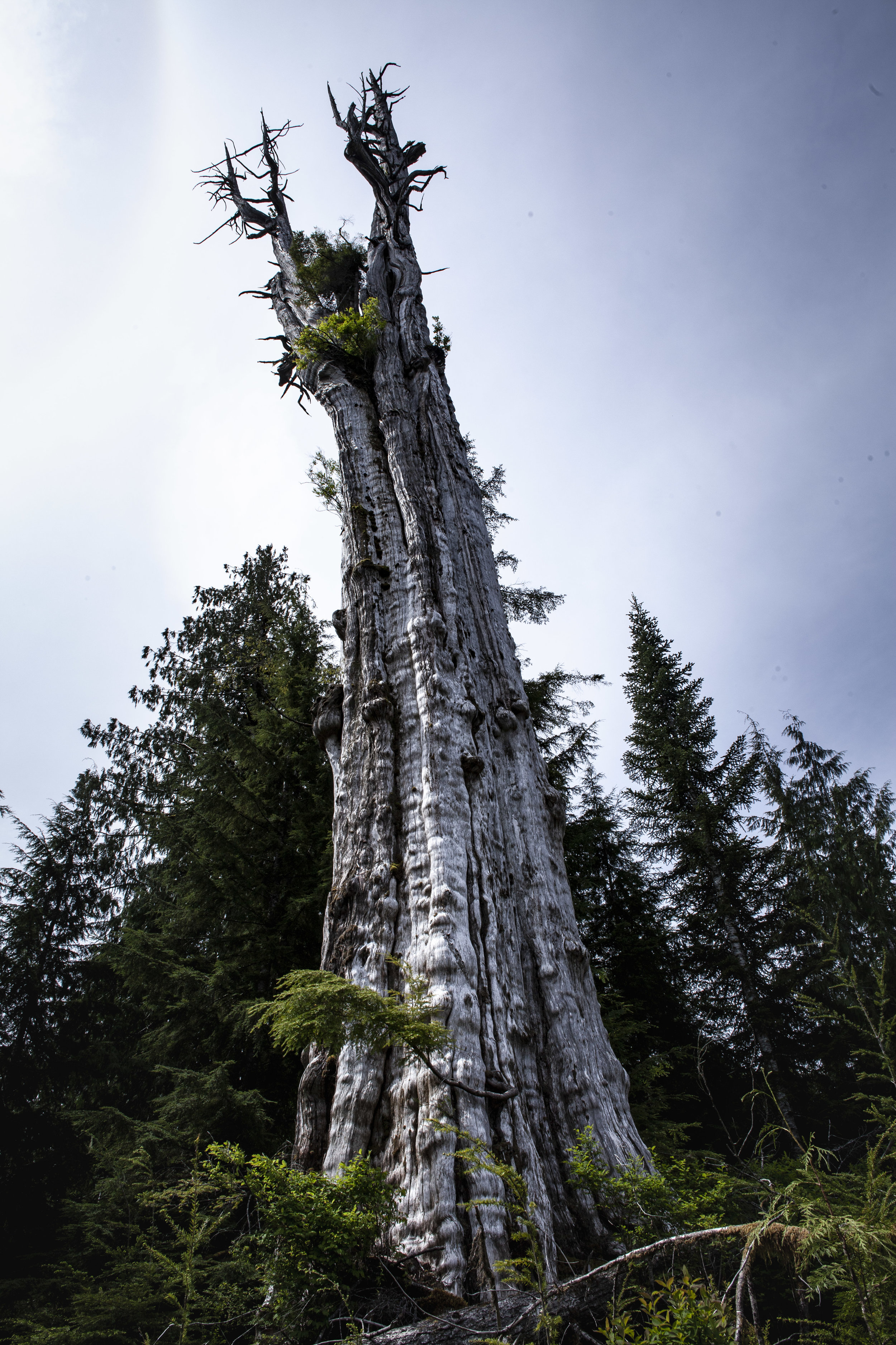
Reeling from this discovery, we took things even closer to the city… or in this case Port Renfrew. Just minutes from the small town, we explored Eden Grove, right next to the legendary Big Lonely Doug. The same conditions which generated the second largest doug fir in Canada, produced a rich forest full of character. Inspired by this wonderful forest, we cut in a “research route” to one of the largest trees in the grove. Measuring over 12m in circumference, this gorgeous cedar sits just minutes from the logging road. Due to some devastating logging nearby, the road to this area has been significantly improved and is now accessible by most vehicles. Trail information to this grove soon should be up soon, but for not just drive past lonely doug until you see a stone cairn next to a giant gnarly fir the trail is marked from there.
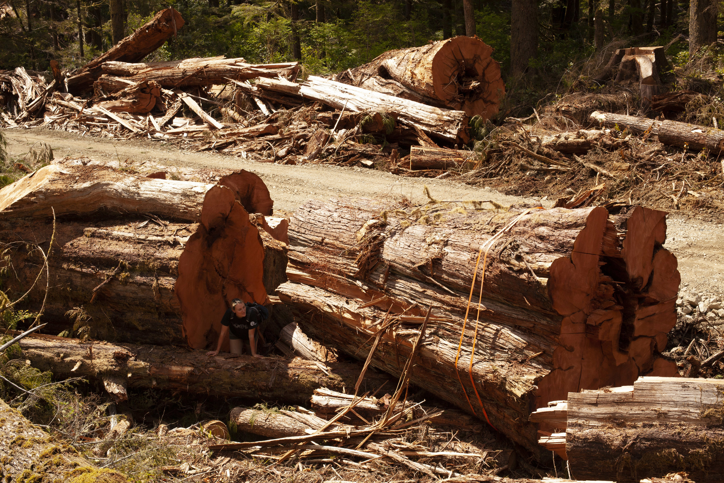
Early in the spring Eric discovered Cedar logging under ten kilometres from the Cheewhat giant, the largest western red cedar in the world. His pictures of the block were striking and he told us it was worth seeing as they are falling it. It was like photos out of a forestry museum.
Spring began with a smashed staircase leading to the upper falls. Some careful bucking and finicky re-piecing before it was back together. After it was walkable we celebrated with a swim, taking care not to trample the lilies.

